
Photo Geodetic Corporation was founded in April 1978, to provide high quality aerial mapping services for planning, engineering, and research projects. Photo Geodetic Corporation has earned an enviable reputation for precision mapping and the ability to produce an accurate, detailed product keyed to the specialized needs of our clients.
We routinely perform data collection and translation/conversions among our many software packages such as AUTOCAD®, MICROSTATION®, and SOFTDESK®/AUTODESK CIVIL 3D®. We specialize in providing large‑scale digital design mapping with high accuracy requirements and/or unique specifications.
Photo Geodetic Corporation began as a subsidiary of Aero Geodetic of Santa Clara to provide high quality mapping services to the Southern California area. After a few years, then President John G. Ing partnered with Wayne Lill Sr. LLS and purchased the firm from Aero Geodetic. Over the next 20 years he built the firm into what it has become today.
In 2000, John Ing retired and the firm was purchased by his son Michael G. Ing. Michael has been with the firm since 1980 and has used his over 30 years of experience in the industry to continue the family traditions of quality and service to our clients.
Photo Geodetic is constantly doing research and development on the latest software and hardware upgrades to better serve our clients. We have established a network of subcontractors to provide conventional and UAS flying capabilities throughout the country We have also increased our production capabilities by bringing on new highly skilled personnel. Working with this remarkable staff has allowed Photo Geodetic to modernize and improve the firm while keeping with the long standing traditions established over the years.
Today, Photo Geodetic enjoys the trust of our numerous friends in the design, engineering and surveying professions. We look forward to continuing to service their needs in the years to come and our staff is always available to assist you with your next project.

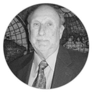
John began his career in photogrammetry working for the Canadian Department of Energy and Resources in Ottawa, Canada. He had over 55 years of photogrammetric experience and is a Certified Photogrammetrist. John served as Vice President and was on the Board of Directors at Photo Geodetic. He began his career in the United States in 1963 while working for the International Mapping Corporation. During his career he had worked with several photogrammetric companies in California. In 1978 he joined Photo Geodetic Corporation as Vice President. At that time his responsibilities included consulting with the Engineer Principal, all daily operations, and general administration. In 1979 John became President of Photo Geodetic Corporation and a major stock holder until his retirement [from Photo Geodetic Corporation] in 1999.
Even though he had retired from Photo Geodetic Corporation John remained active in photogrammetry and served as a consultant for the firm.
John was a member Emeritus with the American Society of Photogrammetry and Remote Sensing (ASPRS), California Land Surveyors Association (CLSA), and Society of American Military Engineers (SAME).

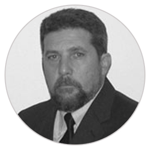
Michael currently serves as President and General Manager of Photo Geodetic Corporation. In this position he is responsible for all phases of operations and administration of the firm. He began his career in photogrammetry in 1976 when he worked for Aero-Geodetic Corporation in San Jose. He joined the Photo Geodetic Corporation team in 1981 and was Photo Lab Manager for five years. In 1986 when Photo Geodetic Corporation and the art of photogrammetry began to change from hand scribing to computer generation, Michael took over as Production Manager. As Production Manager his duties included liaison with the corporation President, client relations, project estimating, cost analysis, supervision of personnel, equipment and quality control. In 1999 Michael advanced to Vice President and General Manager. As Vice President he was responsible for all daily operations and the general administration of the firm. In 2000 Michael became the major stock holder of Photo Geodetic Corporation and our current President.
Michael is a member of American Society of Photogrammetry and Remote Sensing (ASPRS), American Congress on Surveying and Mapping, California Land Surveyors Association (CLSA).

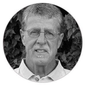
Michael L. Foreman has over 40 years experience in Land Surveying working with various firms. He has been responsible for surveying, mapping and right-of-way engineering projects for local agencies, a large governmental consulting firm and his own firm throughout his long career in surveying.
Michael is a Registered Land Surveyor in California, Arizona, and Nevada – California P.L.S. 5778, Arizona P.L.S. 32225, Nevada P.L.S. 11430, and Nevada State Water Right Surveyor No. 1041. Contact: maps@photogeodetic.com